HURRICANE HUNTER SATELLITES

Earlier, 2X More Accurate Hurricane Forecast Polar Wind Data to Improve Weather Models

HURRICANE HUNTER SATELLITES

Earlier, 2X More Accurate Hurricane Forecast Polar Wind Data to Improve Weather Models

We supply the missing piece to weather forecast models

Solving The Weather Forecast Problem Current weather forecasting models cannot keep up with the pace of climate change and extreme events. Our NanoSats will deliver the missing data set forecasters need to make more accurate and reliable weather predictions.

The Polar Winds interact with the jet streams and drive the majority of weather patterns across the globe. But existing satellites only provide a 2D solution to a 4D problem, measuring winds in just the horizontal axes while vertical winds are sparsely, and poorly, measured by weather balloons and stations. We will leverage our 4D (XYZ + Time) measuring technique to collect wind measurements across all altitudes with greater frequency and higher resolution. This gives forecasters a more accurate starting point to derive their forecasts from.

NanoSatellite constellation delivers earlier, 2X more accurate hurricane forecasts

The Hurricane Problem rising temperatures are making hurricanes more powerful and more frequent. The US is the only country with Hurricane Hunter Aircraft. At a cost of $250M per year to maintain, we can deliver similar observational capability with our satellites to the 20 vulnerable countries at 4% of the costs ($10M per year). We will also aid the US as multiple hurricanes at once as well as mechanical problems prevent timely observations.

April 22, 2019
Our mission captured this 3D View of Super Typhoon Soudelor from the International Space Station

Our Mission

To save lives and mitigate damage from hurricanes and other climate related events. Our satellites will help businesses and governments predict, plan, and profit from weather.

Our NASA Award-Winning 4D Solution We have received over $108 million dollars in contracts from NASA, DoD, and private satellite companies to develop and refine our unique 4D measuring technique (X Y Z + Time) of cloud structures as well the proprietary algorithms and advanced modeling that allows us to achieve high-resolution wind velocities and 2X more accurate hurricane forecasts.

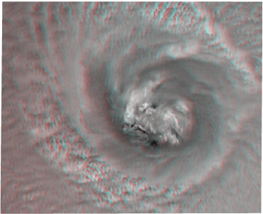
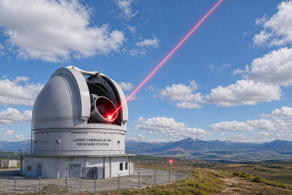
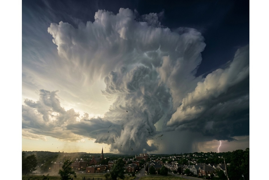
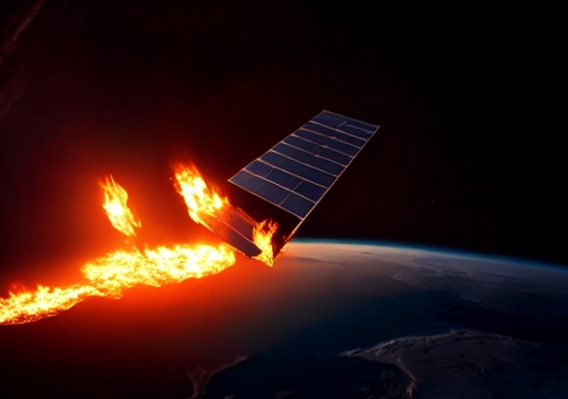
NASA 2018 Winner: Innovation in Earth Science & Remote Sensing

Proven, Strong IP

+

+

Our competitors will need a time machine to catch up on our ten-year head start, a space station to fly multiple hurricane observation missions, and over one hundred million dollars to finance it.

Our Products

Small Satellites, Powerful Products: We sell Big Data monthly subscriptions to meteorologists and scientists, Hurricane Forecasts to vulnerable countries, Jet Stream Data to military and commercial aviation and Custom Apps that put actionable weather intelligence directly into users hands.

01

Earlier, 2X More Accurate and Global

Hurricane Forecasts

02

Polar Wind Measurements

Improve All Weather Forecasts

03

3D Wind Measurements

Safer Navigation of Jet Streams

04

Hyper-local forecasts for Agriculture, Cargo, & more

End-User Apps

Asymmetric Competitive Advantage: Best Wind Data Wins!

Hurricane Hunter Satellites will render all competing weather forecasts inferior due to the comprehensive and frequent polar vortex data. No one will match our accuracy and reliability. We will leverage wind data to build better weather forecast software products.

Polar Wind Measurements

Improve All Weather Forecasts

Hyper-local forecasts for Agriculture, Cargo, & more

End-User Apps

Our SaaS Products deliver actionable weather intelligence directly into users hands.

Industries we service

Over 10 Million AIS Customers Can Leverage Our Advanced Weather Data to Improve Operations

Weather app will help AIS providers add value to their service and give maritime cargo and edge.
W
ind and weather forecasts along with flood, drought, and water level models of rivers and major passages can help shipping vessels set rates and avoid running aground.

More than 500 Million Farmers 
World-Wide Can Leverage Our App to Increase Crop Yield

Agriculture App helps farmers increase their crop yield and the value of their land.
H
yper-local forecasts help farmers make decisions that can maximize their crop yields. They can even see the value of their crop in real-time with world-wide crop reports and Growing Degree Days (GDD) reports that compare historical, global and projected GDD and Crop Yields.

Trucking Weather & Route Advisory

Power Demand Mgmt & Reduced Blackouts

Advanced Intel for Stocks & Commodities

Insurance & CAT Bonds: Reduce Losses and Exposure

Gaps in hurricane monitoring exist all across the globe. The Hurricane Hunter Satellite Constellation is an always-on, global monitoring system that uniquely models wind in 3D.

GLOBAL

Our NanoSats will bring hurricane hunter aircraft accuracy on tropical cyclone intensities to largely uncovered parts of the ocean and 100’s more nations.

POWERFUL

2 NanoSats flying in tandem gather cloud data to generate a 3D model of the storm. This imagery provides unique insights into the intensity and storm path.

PROVEN

For over five years, NASA’s Tropical Cyclone Experiment was performed in support of the CyMISS (Tropical Cyclone intensity Measurements from the ISS).

2D vs 3D a difference you can see

Pictured below is Typhoon Atsani as taken from the International Space Station. The far left image is unprocessed. While the middle and right image have been processed with our 3D measuring technique. Notice the eye of the typhoon far more dynamic and detailed than the standard 2D image. Don't let a pretty picture fool you, our 3D measuring technique reveals a wealth of numerical wind velocity data in the vertical axis that will allow us to delver earlier, 2X more accurate hurricane forecasts.

One of the sequence of color images acquired by the ISS crew of Typhoon Atsani on August 19, 2015. (Earth Science and Remote Sensing Unit NASA-JSC)

A red-channel close up view of the eye of Typhoon Atsani from about 01:11 GMT on August 19, 2015. This re-projected image is 225 X1 50 kilometers and approximates an overhead view. (A.J. LePage/ Tropical Weather Analytics, Inc./ NASA-JSC)

An anaglyphic stereo image (left eye red, right eye cyan) of the eye of Typhoon Atsani created using processed versions of images acquired by the ISS crew on August 19, 2015. (A.J. LePage/TWAi/NASA-JSC)

Trending Blogs

Accurate Characterization of 3D Winds Using Stereographic Observations from the Hurricane Hunter Satellites
This landmark collaboration signifies a groundbreaking step in reducing the economic and human costs of extreme weather events which are rapidly increasing due to climate change
The Hurricane Hunter Satellites would have made significant contributions to the forecasting of the strength and track of Hurricane Ian as well as aid in local forecasting
Had the HHSat constellation been in orbit, it certainly would have provided vital data to improve the forecasting of Hurricane Lee during its 11-day trek across the North Atlantic