In the world of meteorology, wind is the most critical variable and the hardest to get right. For decades, satellite-derived wind data has been a “general indicator” rather than a precision tool. We’re changing that by chasing the “Holy Grail” of atmospheric science: accurate 1 m/s wind data from cloud-top measurements.
Here is why this technology is a game-changer for the planet and the global economy.
The Precision Gap: Why 1 m/s Matters
Current satellite winds usually have an error margin of 3–5 m/s. While that sounds small, in a complex storm, it’s the difference between a minor course correction and a catastrophic forecasting error. By hitting the 1 m/s threshold, we move from “guessing” to “knowing.”
- Steering Winds: Hurricanes are pushed by large-scale environmental winds. If a model is off by just 2 m/s, the predicted landfall can shift by hundreds of miles.
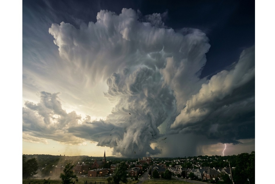
- Wind Shear: This is the force that either “chokes” or fuels a storm. Accurate cloud-top data lets us see if a storm’s engine is being torn apart or perfectly aligned for rapid intensification.
- Vertical Motion: Current models often treat the atmosphere as a 2D sheet. We capture the vertical wind component, allowing meteorologists to predict “hot towers” and explosive storm growth before they happen.
Solving the “Height Assignment” Problem
The biggest flaw in current commercial weather data is height assignment. Most satellites use Atmospheric Motion Vectors (AMVs)—basically D snapshots that track cloud movement.
The problem? These sensors struggle to tell exactly how high a cloud is. If you have a 30 m/s wind but you assign it to the wrong altitude, you’re feeding “junk data” into the model. Our technology provides geometrically certain 3D profiles, ensuring the data is exactly where it needs to be in the vertical column.
The Business Case: Who Wins?
This isn’t just about better science; it’s about massive economic efficiency.
- Aviation: Accurate 3D wind fields allow airlines to “surf” jet stream tailwinds. Research shows this could save up to 16% in fuel on long-haul routes—a direct path to both higher margins and “Net Zero” goals.
- Government & Coastal Safety: Maintaining a fleet of “Hurricane Hunter” aircraft costs roughly $250 million a year. A satellite constellation can provide the similar level of accuracy globally for about 4% of that cost. Not to mention hurricane-vulnerable countries that don’t have Hurricane Hunter fleet.
- Insurance: By reducing “ambiguity risk” in storm paths, insurance companies can more accurately price premiums. In places like Australia, better data has been shown to lower premiums by up to 27%.
The 1.5-Hour “Heartbeat”
A common question in our industry is: Is a 1.5 to 2-hour revisit time enough? For modern Numerical Weather Prediction (NWP) models, the answer is a resounding yes. Most global models use “4D-Var” assimilation, which treats time as a dimension. Providing a data point every 90 minutes gives the model four distinct snapshots within a standard 6-hour window. This allows the model to see the trend of the wind—whether it’s accelerating or shifting—preventing the “model shock” that leads to bad forecasts.
The Bottom Line
The weather data market is currently supply-constrained, not demand-constrained. The world is waiting for aircraft-grade accuracy from the safety of orbit. By delivering 1 m/s precision with a 90-minute “heartbeat,” we aren’t just improving the forecast—we’re providing the high-fidelity data the 21st-century economy requires to stay ahead of the storm.
