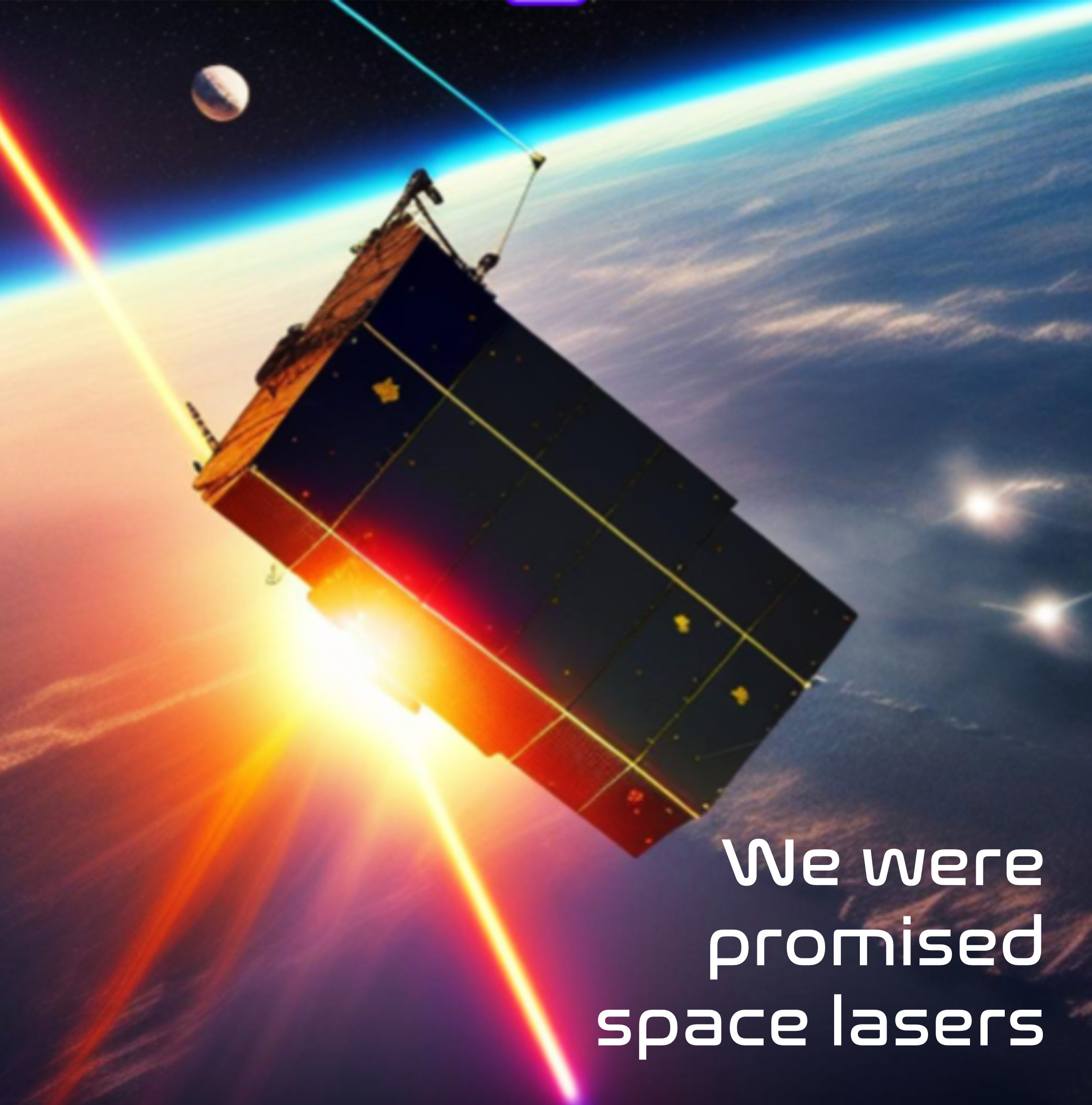
Laser Comm, also called Free space optical (FSO) communication, has the potential to solve the high-bandwidth demands of communications between satellites and ground stations.
CFLOS (cloud-free line of sight) is critical to Air- and Space-borne Optical/IR sensors for:
1. Imagery of ground and near-ground features
2. Laser communication to/from the ground (hundreds of gigabits/s demonstrated)
3. Laser weapons
Hurricane Hunter Satellites measures cloud sizes, locations, altitudes, and motion in 3D and, consequently, “measure” the absence of clouds (CFLOS), with LEO stereo pairs of satellites.
The ever-increasing demand for data, imagery and video has caused congestion in the conventional radio frequency (RF) bands. There is so much congestion in fact, that 5G, which has some overlap with existing weather satellite collection frequencies, was rushed into service despite the possibility that this interference could set weather forecasting back by 30%. Just what we need in the middle of a Climate Crisis, less reliable weather forecasts!
Laser Comm may solve the communication crunch as lasers have already demonstrated a 100X faster data transfer rate over RF. The high-bandwidth, high-capacity Laser Comm can deliver will completely change the satellite industry, broadcasting, internet services, and so many other commercial and military sectors.
Even better for New Space, the RF spectrum is restricted while laser do not require spectrum licensing.
So… what’s the hold up? I have remarked elsewhere that current reaction wheels in satellites aren’t up to the task because the bearings in the wheels introduce “jitter” and as we all know coffee is not good for satellites. What is needed is a magnetic, bearing-less reaction wheel that eliminates jitter altogether. That technology will unlock the potential of Laser Comm, except… CLOUDS.
Lasers don’t play nice with clouds. That is where Tropical Weather Analytics, Inc. comes in. CFLOS (Cloud-free line of sight) is critical to maximizing communication windows. When clouds are out of the way, the lasers will play. Our Hurricane Hunter Satellites are the only sats that will collect global wind and cloud coverage with the frequency and accuracy needed to make Laser Comm… er… common. The wind data we collect allows us to forecast more accurately and reliably where the clouds will be and when. Our forecasts will allow Laser Comm to thrive.
Problem solved! Now about that jetpack, well, thanks to Gravity we are one step closer check out their flight packages at www.gravity.co
For a cloud and wind forecast email me at hurricaneharkins@weathersats.com
Below is an overview of the type of wind and cloud measurements our Hurricane Hunter Satellites will provide.
– Spatial resolution: ~100 meters in all three dimensions, Initial capability: daytime
– Spatial field of view: 2000 x 2000 km swath
– Most surface features do not move but clouds do (global average near-surface winds are ~5 m/s and ~20 m/s at 10 km). The combined lack of motion and stereo determination of feature to be at altitudes less than 100 m uniquely identify CFLOS areas and are subject to autonomous recognition, size and location.
– Cloud velocity measurements (and subsequent CFLOS areas) are accurate to 1 m/s vs the current 7.5 m/s error for Derived Motion Winds from existing weather satellites (2D only) – accuracy is critical in forecasting CFLOS locations. For example, in 5 min (GOES revisit time) the Derived Wind Motion error is greater than 2 km vs 300 m for Hurricane Hunter Satellites .
– The Initial 5 pairs of Hurricane Hunter nanosats with visible cameras in near sun-sync orbits can revisit any given location as frequently as once every 2 1/2 hours for taking stereo images during daylight. Revisit frequence can be increased as needed by adding more satellite pairs.
– Night time capability planned for Gen 2 of Hurricane Hunter Satellites using LWIR sensors
– A unique capability with LEO is being able to do stereo imagery of clouds from the side and measure cloud bottoms and tops which can result in CFLOS at large nadir angles (~60o)

Very well presented. Every quote was awesome and thanks for sharing the content. Keep sharing and keep motivating others.
I appreciate you sharing this blog post. Thanks Again. Cool.