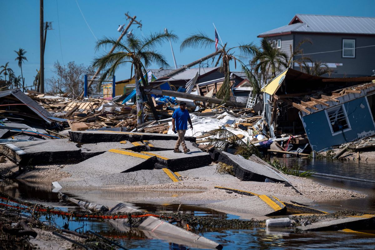
Hurricane Ian was a devastating, life-changing event for those directly impacted by the storm and we still do not know the number of lives lost. In the wake of Hurricane Ian many in the media were wondering if forecasters got it wrong while in the meteorology community many were writing about the need to deploy better tools and improve communications so that the public has clearer understanding of risk. There is a science element (the forecast) as well as a psychological element (how people react/actions they take) to every hurricane and extreme weather event.
The fact is hurricane forecasts have become increasingly more accurate but as this graphic from the National Hurricane Center shows, track and intensity errors still remain. There is a need for improvement and a painfully obvious need for better tools to reduce the error.

The Hurricane Hunter Satellite mission will address the critical flaws in current forecast technology and by reducing the uncertainty, we can address some of the psychological aspects. If people do not believe the forecast, they are less likely to take precautions/evacuate. More reliable and accurate forecasts will make people less likely to “ride it out”. The other thing is time. An earlier forecast allows citizens and government agencies more time to prepare.
We know from our CyMISS mission that our hurricane observation and modeling technique can provide a 12hr earlier forecast over current methods. We also found that by modeling as a Carnot Engine we can reduce the intensity range error, currently 7-11knots down to 3.5 knots. That error reduction results in at least 2X more accurate forecast of wind speed/intensity.
By reducing the cone of uncertainty and delivering a more precise storm track and intensity forecast earlier, we can help bridge the communication to action gap.
Rapid Intensification is the other issue as hurricanes are not static, they are dynamic changing forces of nature. Rapid Intensification (RI) is an increase in wind velocity by 30 knots (35 mph) or more over a 24-hour period. One reason RI is so difficult to predict is vertical wind velocities are not accurately or frequently measured. Our unique 3D wind technique measure wind in the horizontal and vertical axes and observe hurricanes every 2.5 hours. This will help make predicting RI more reliable.
Overall, an earlier more accurate and reliable hurricane forecast will help save lives and help agencies evacuate and deploy assets where they will most be needed. Our Hurricane Hunter Satellites can eliminate much of the debate between media and meteorologists through earlier, more accurate forecasts.
NOTE: Tropical Weather Analytics is the commercial spin out of Visidyne.
