Science
The First 3D View of Boston from Orbit – September 21, 1973
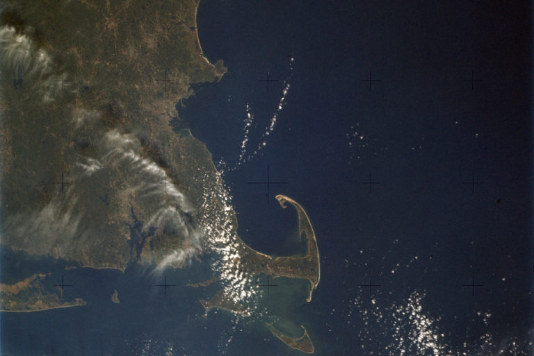
The first clear views of the Boston area from the S190A Skylab Multispectral Experiment were acquired on September 21, 1973
The first clear views of the Boston area from the S190A Skylab Multispectral Experiment were acquired on September 21, 1973
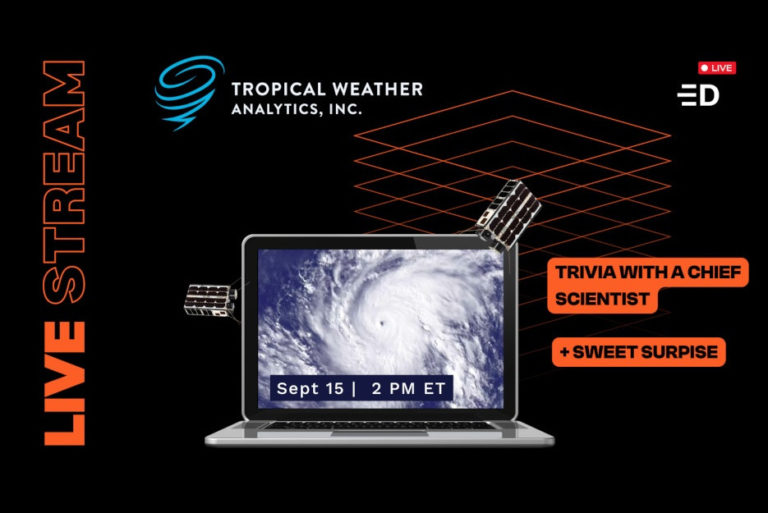
A chance to meet key members of the TWA team and learn more about the Hurricane Hunter Satellites

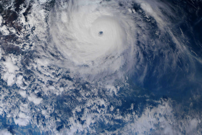
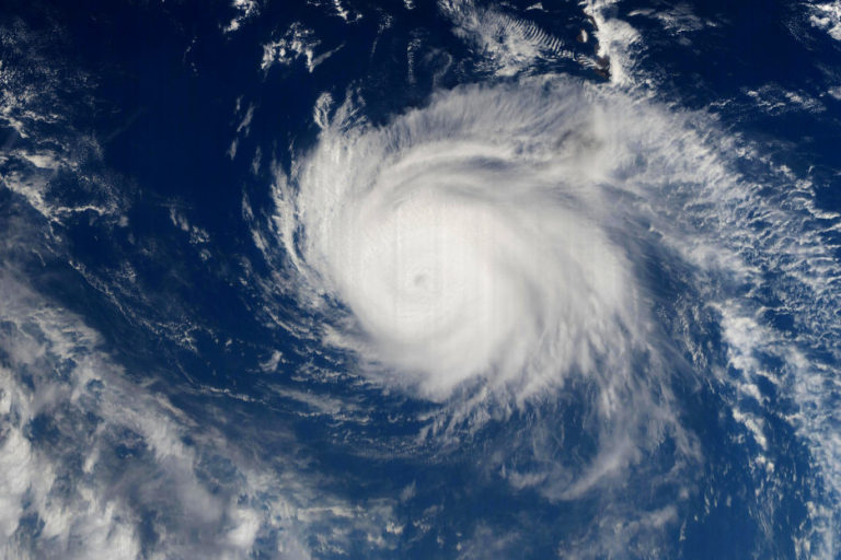
Typhoon Meranti was rated as a Category 5 storm on the Saffir-Simpson scale with sustained winds of about 299 kph (186 mph) earning it “super typhoon” status
Bringing our planet’s next generation of data for forecasting the weather
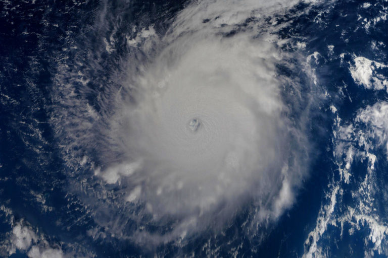
Hurricane Irma reached its peak intensity at about 06:00 GMT on September 6 with a central pressure low of 914 hPa tying for 7th place as the most intense Atlantic hurricane to make landfall
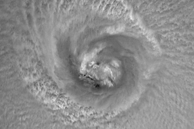
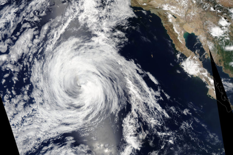
Hurricane Harvey was located in the Gulf of Mexico and was rated as a strong Category 3 storm with sustained winds of about 201 kph (125 mph)

Being able to get reliable wind data remotely from satellites helps our meteorologists provide better forecasts and warnings
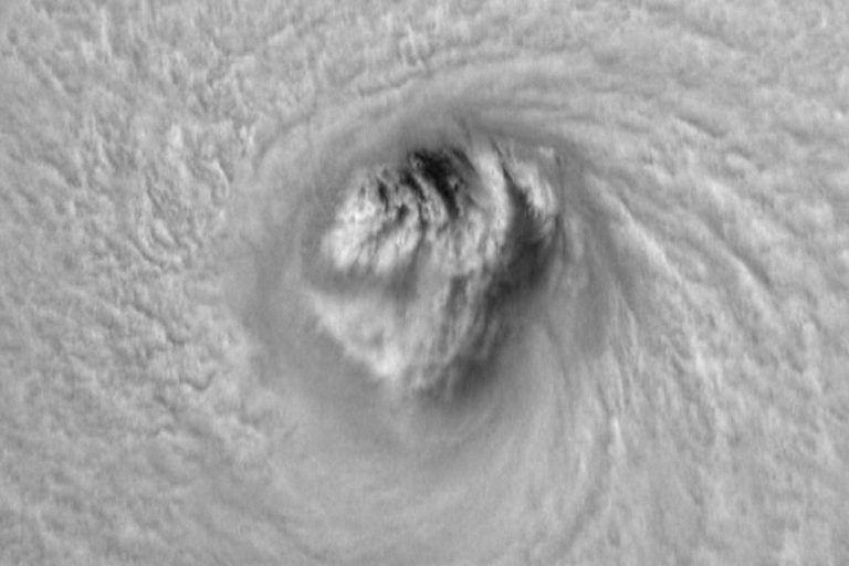
Atsani was located in the western part of the North Pacific and had just been upgraded a Category 4 “Super Typhoon”
The Hurricane Hunter Satellite constellation offers the potential to spot wildfires especially in remote regions
Currently, global NWP models used for forecasting have resolutions that are too coarse to adequately simulate sharp gradients in the eyewall, inner core, and rainbands of TCs required for improving intensity and structure predictions
The weakening hurricane was rated as a Category 3 storm with sustained winds of about 185 kph (115 mph)
The detailed information that the Hurricane Hunter Satellite constellation can provide about TCs will be vital in meeting NOAA’s future goals of improving their forecasting.
