News
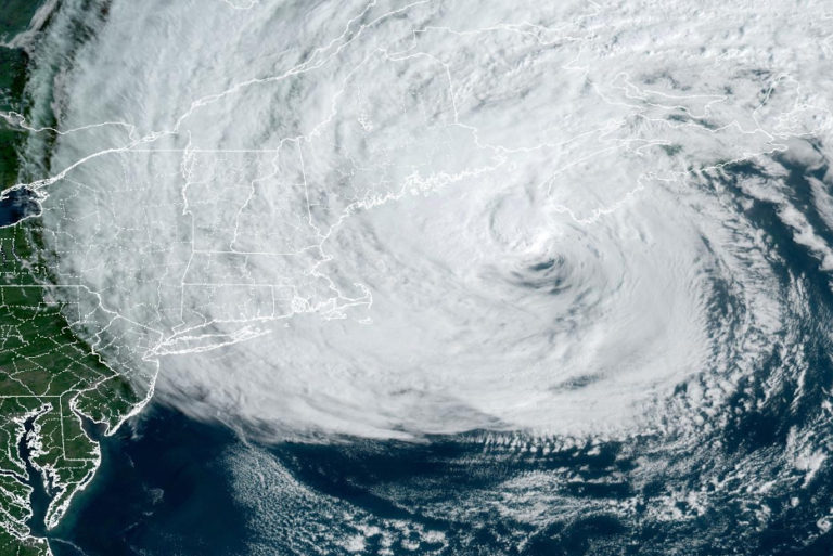
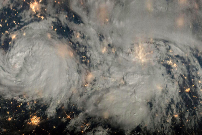
Hurricane Lee Passes by Boston
Had the HHSat constellation been in orbit, it certainly would have provided vital data to improve the forecasting of Hurricane Lee during its 11-day trek across the North Atlantic
Had the HHSat constellation been in orbit, it certainly would have provided vital data to improve the forecasting of Hurricane Lee during its 11-day trek across the North Atlantic
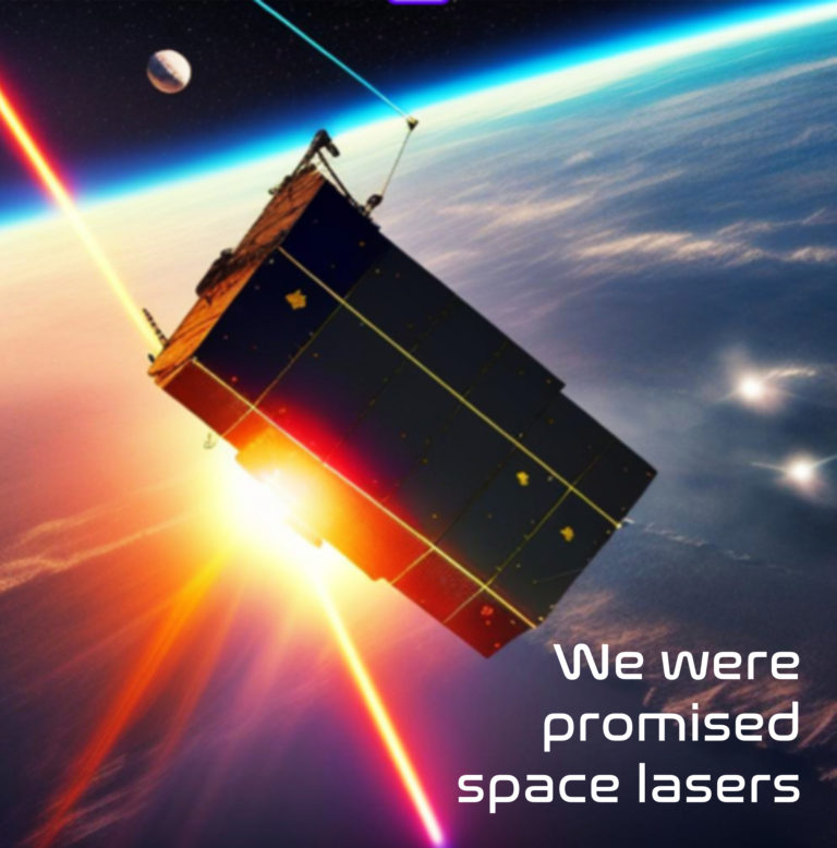
Laser Comm, has the potential to solve the high-bandwidth communication demand but clouds are an issue. Our forecasts enable Laser Comm by offering CFLOS (cloud free line of sight) forecasts that are more accurate and reliable thanks to our unique, advanced wind and cloud data.

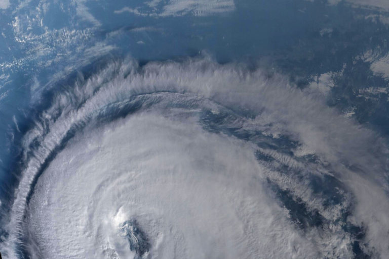
Clouds can give you a signpost in the sky marking the location of turbulence and hazardous weather conditions
Typhoon Soulik was near its peak intensity and was rated as a strong Category 2 storm, on the Saffir-Simpson scale, with sustained winds of about 177 kph (110 mph)
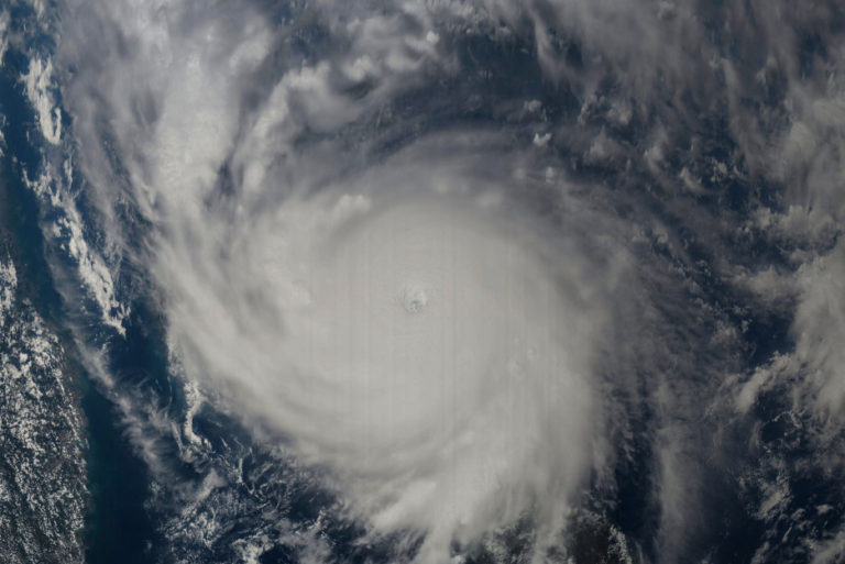
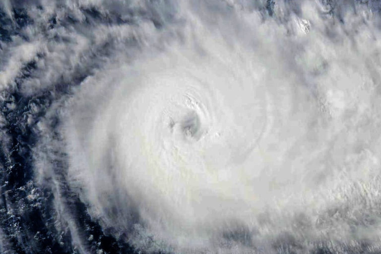
Nepartak had winds of 265 kph (165 mph) making it the equivalent of a Category 5 storm on the Saffir–Simpson scale earning it the designation of “Super Typhoon”
Tropical Storm Alberto was the first named storm of the 2018 Atlantic hurricane season
Tropical Cyclone Donna would prove to be the strongest off-season tropical cyclone ever recorded in the Southern Hemisphere during the month of May

The eye of Debbie was located just 150 kilometers off the coast of Queensland, Australia with sustained winds of about 148 kph (92 mph)

Tropical Cyclone Enawo was strengthening at the time with an estimated average wind speed of 160 kph (100 mph) making it the equivalent of a Category 2 storm on the Saffir–Simpson scale

Tropical Cyclone Oma was located off the east coast of Australia and was rated as a Category 2 storm on the Australian tropical cyclone intensity scale with sustained winds of about 105 kph (65 mph)

The storm was rated as a strong Category 3 storm on the Saffir–Simpson scale with sustained winds of about 193 kph (120 mph)

Wind observations from platforms like Aeolus can improve the forecasting of tropical cyclones, especially in parts of the globe that do not have dedicated resources providing observations within these storms, such as those from NOAA’s Hurricane Hunter flights
